Get In Touch
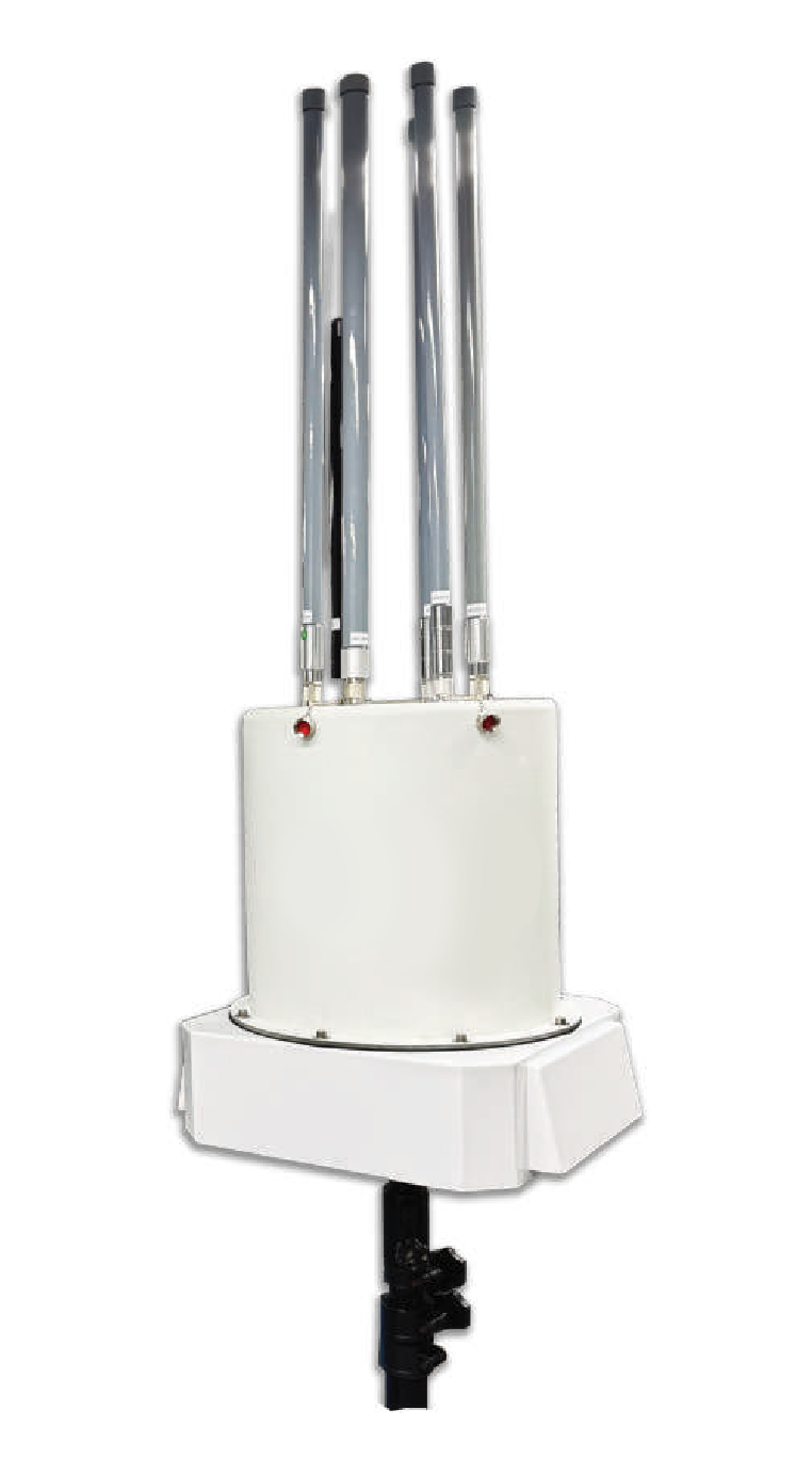
Coverage Range 2–12 km radius, depending on drone type & environment RF Detection 300 MHz, 433 MHz, 500 MHz, 700 MHz, 868 MHz, 915 MHz, 1.2 GHz, 1.4 GHz, 2.4 GHz, 3.3 GHz, 5.2 GHz, 5.8 GHz — with wide-band RF spectrum monitor Protocol Signal Protocol Decoding & DF methodology Detection Data Drone type, frequency, signal strength level, Remote ID & more Decoding Identify, locate, direction, serial number, MAC address & more — depending on drone library Compatibility DJI, non-DJI, DIY & certain Mil-Grade drones; connects to centralised drone decryption device for encrypted DJI drones Additional Features ADSB capability · Audio & visual alert · Real-time & offline maps · Multiple SDRs with AI Integration SRA-DDI & SRA-OPS Weight < 30 kg Protection IP65 ingress protection Software RF Detection & C2
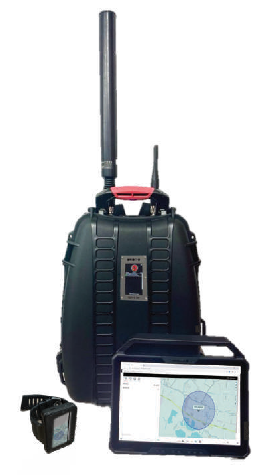
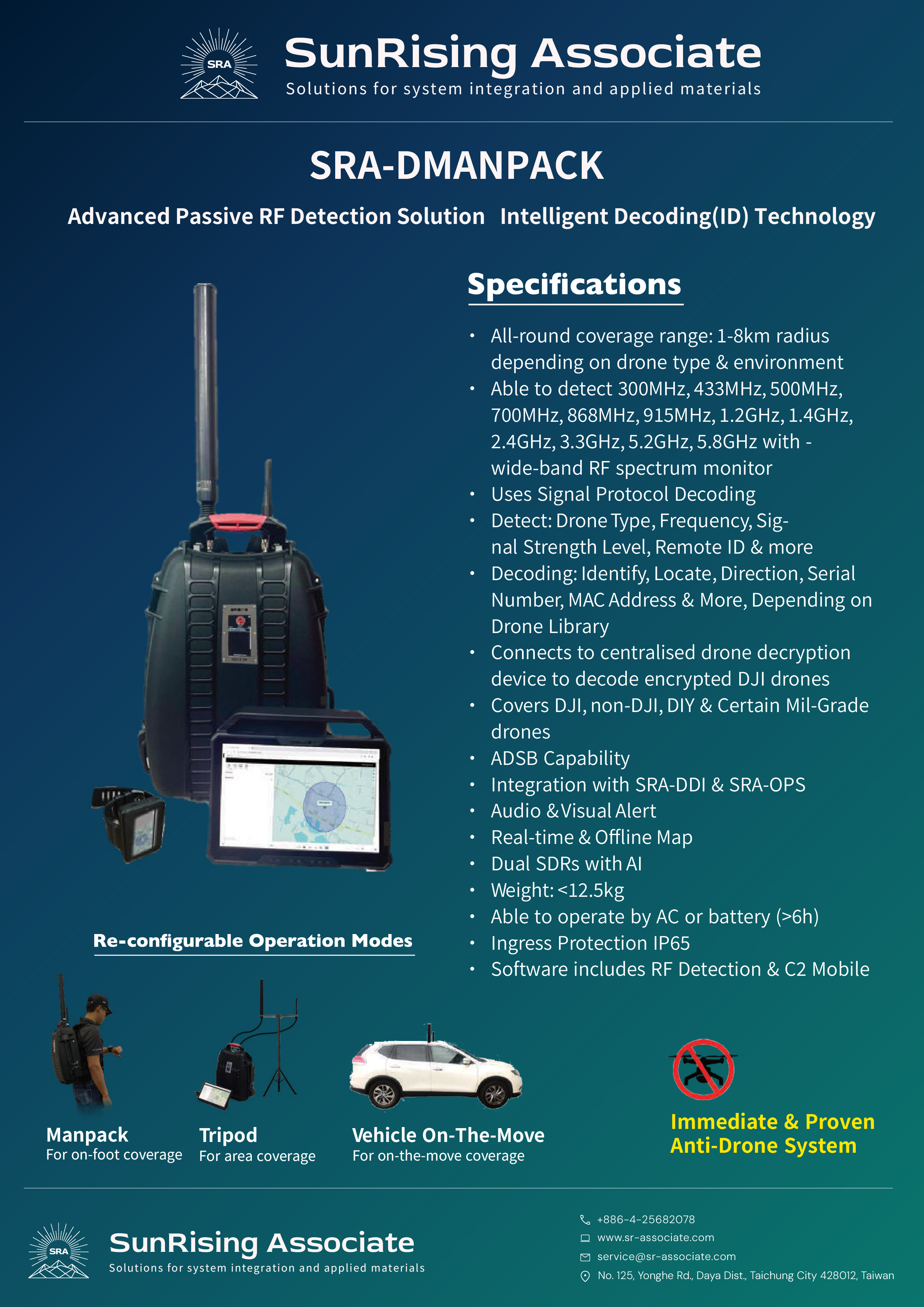
Coverage Range 1–8 km radius, depending on drone type & environment RF Detection 300 MHz, 433 MHz, 500 MHz, 700 MHz, 868 MHz, 915 MHz, 1.2 GHz, 1.4 GHz, 2.4 GHz, 3.3 GHz, 5.2 GHz, 5.8 GHz — with wide-band RF spectrum monitor Detection Data Drone type, frequency, signal strength level, Remote ID & more Decoding Identify, locate, direction, serial number, MAC address & more — depending on drone library Protocol Signal Protocol Decoding; connects to centralised drone decryption device for encrypted DJI drones Compatibility DJI, non-DJI, DIY & certain Mil-Grade drones Additional Features ADSB capability · Audio & visual alert · Real-time & offline map · Dual SDRs with AI Integration SRA-DDI & SRA-OPS Weight < 12.5 kg Power AC or battery (> 6 h operation) Protection IP65 ingress protection Software RF Detection & C2 Mobile
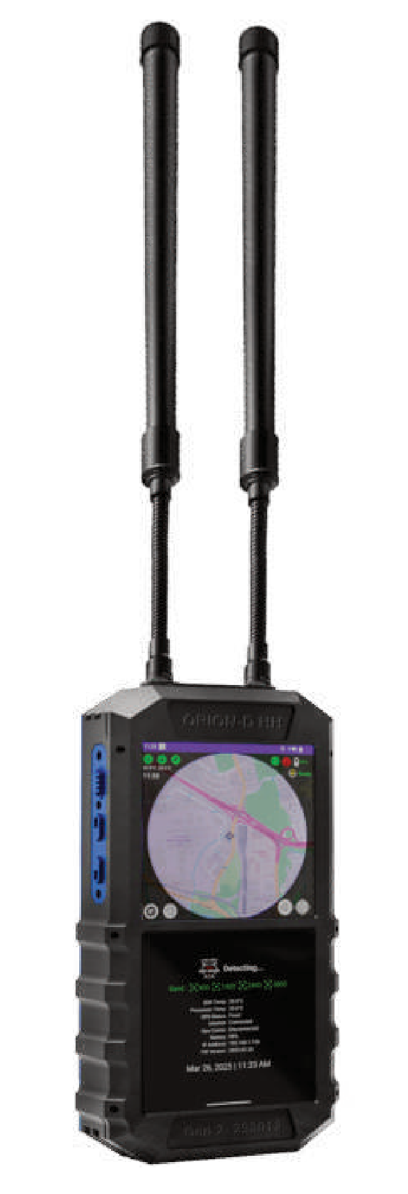
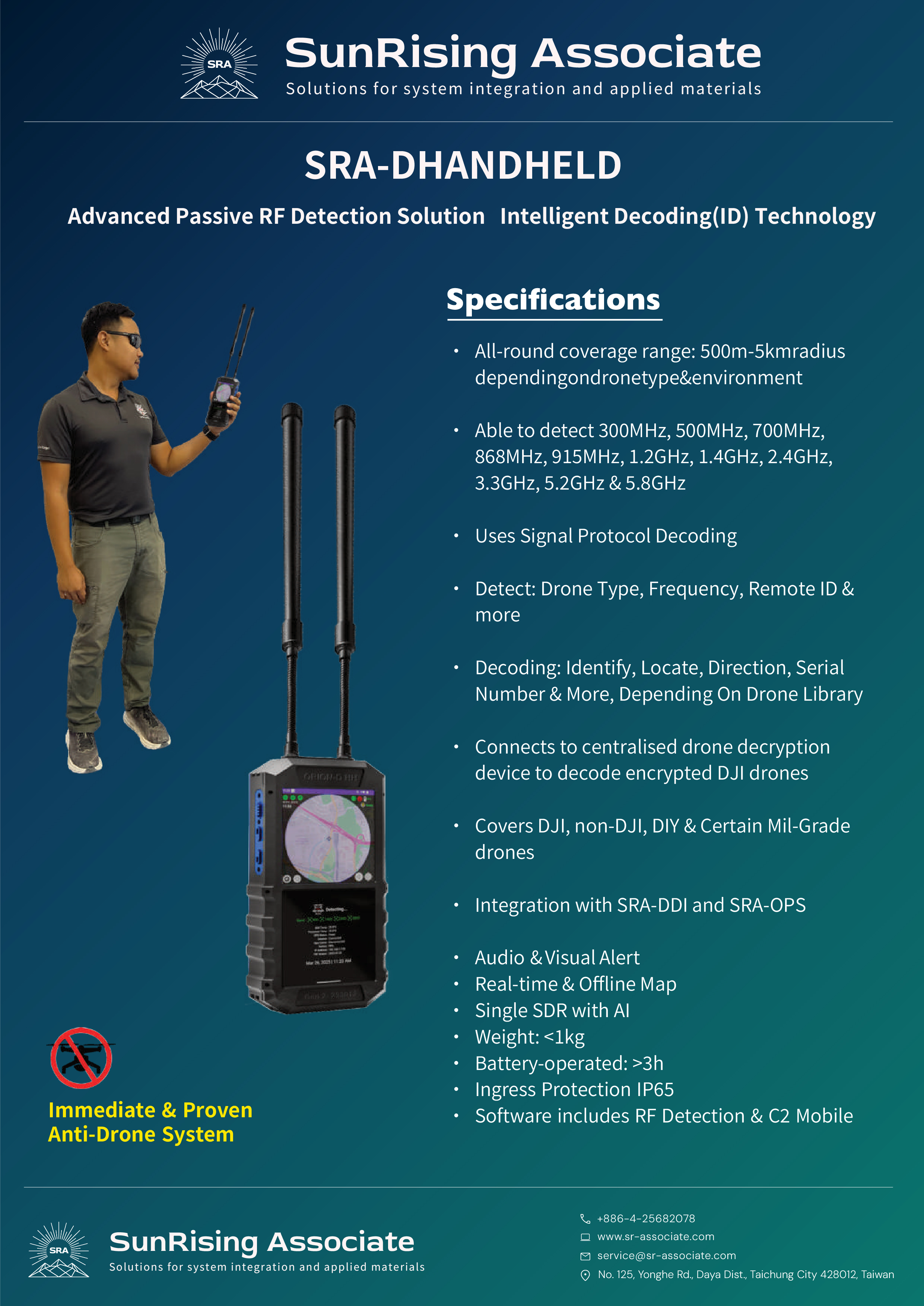
Coverage Range 500 m–5 km radius, depending on drone type & environment RF Detection 300 MHz, 500 MHz, 700 MHz, 868 MHz, 915 MHz, 1.2 GHz, 1.4 GHz, 2.4 GHz, 3.3 GHz, 5.2 GHz, 5.8 GHz Detection Data Drone type, frequency, Remote ID & more Decoding Identify, locate, direction, serial number & more — depending on drone library Protocol Signal Protocol Decoding; connects to centralised drone decryption device for encrypted DJI drones Compatibility DJI, non-DJI, DIY & certain Mil-Grade drones Additional Features Audio & visual alert · Real-time & offline map · Single SDR with AI Integration SRA-DDI & SRA-OPS Weight < 1 kg Power Battery-operated (> 3 h operation) Protection IP65 ingress protection Software RF Detection & C2 Mobile
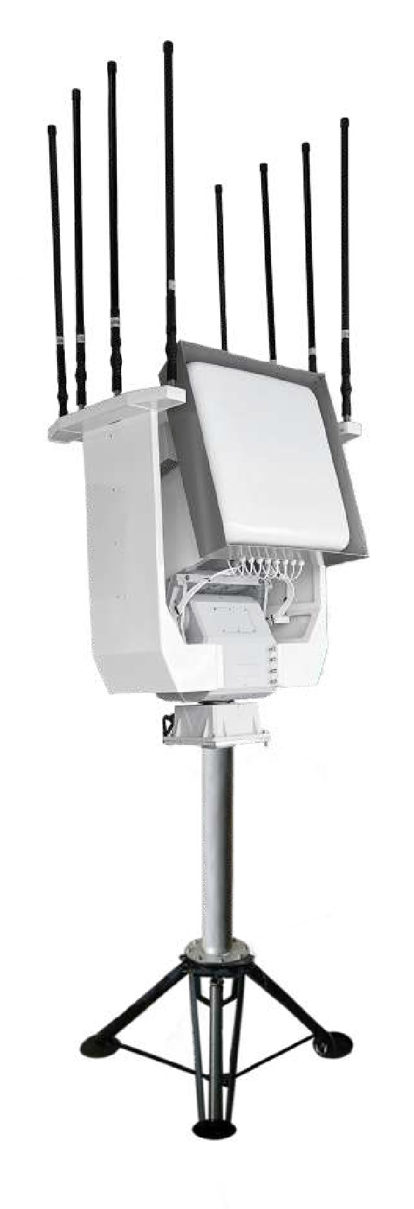
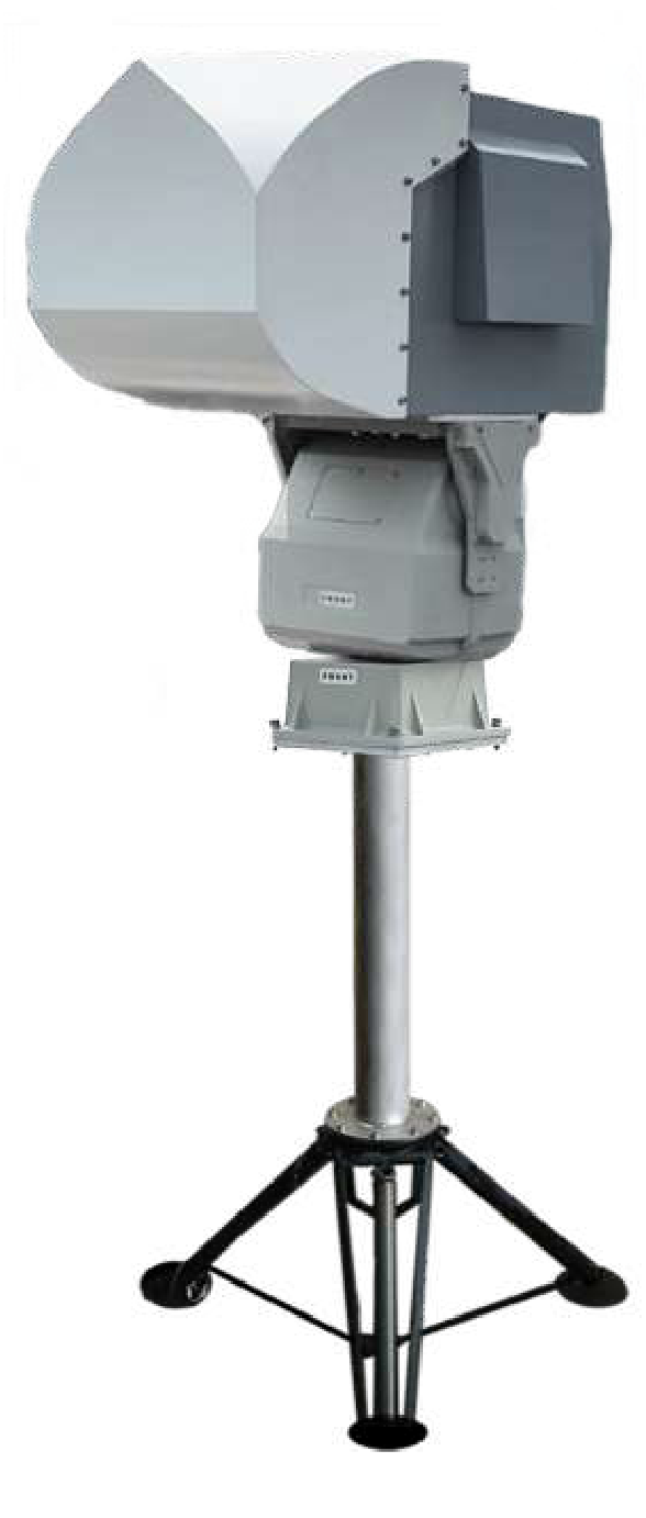
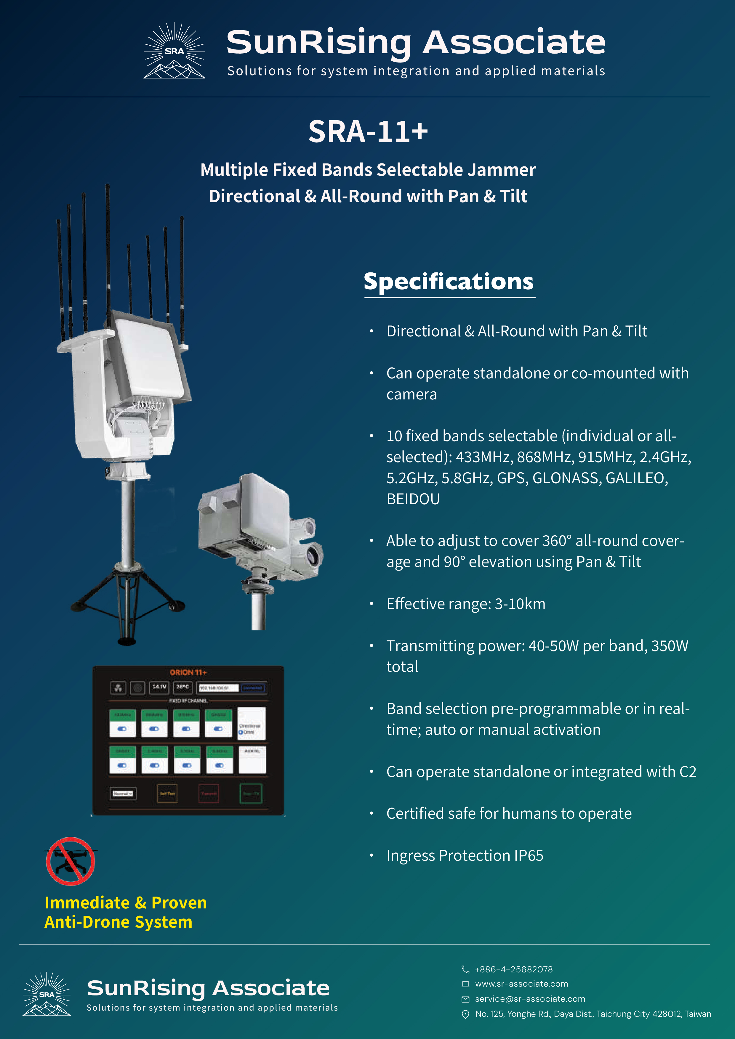
Bands 10 fixed bands selectable (individual or all): 433 MHz, 868 MHz, 915 MHz, 2.4 GHz, 5.2 GHz, 5.8 GHz, GPS, GLONASS, GALILEO, BEIDOU Coverage 360° all-round & 90° elevation via Pan & Tilt; directional or all-round modes Effective Range 3–10 km Transmitting Power 40–50 W per band · 350 W total Activation Band selection pre-programmable or real-time; auto or manual activation Deployment Standalone or co-mounted with camera; standalone or integrated with C2 Safety Certified safe for humans to operate Protection IP65 ingress protection
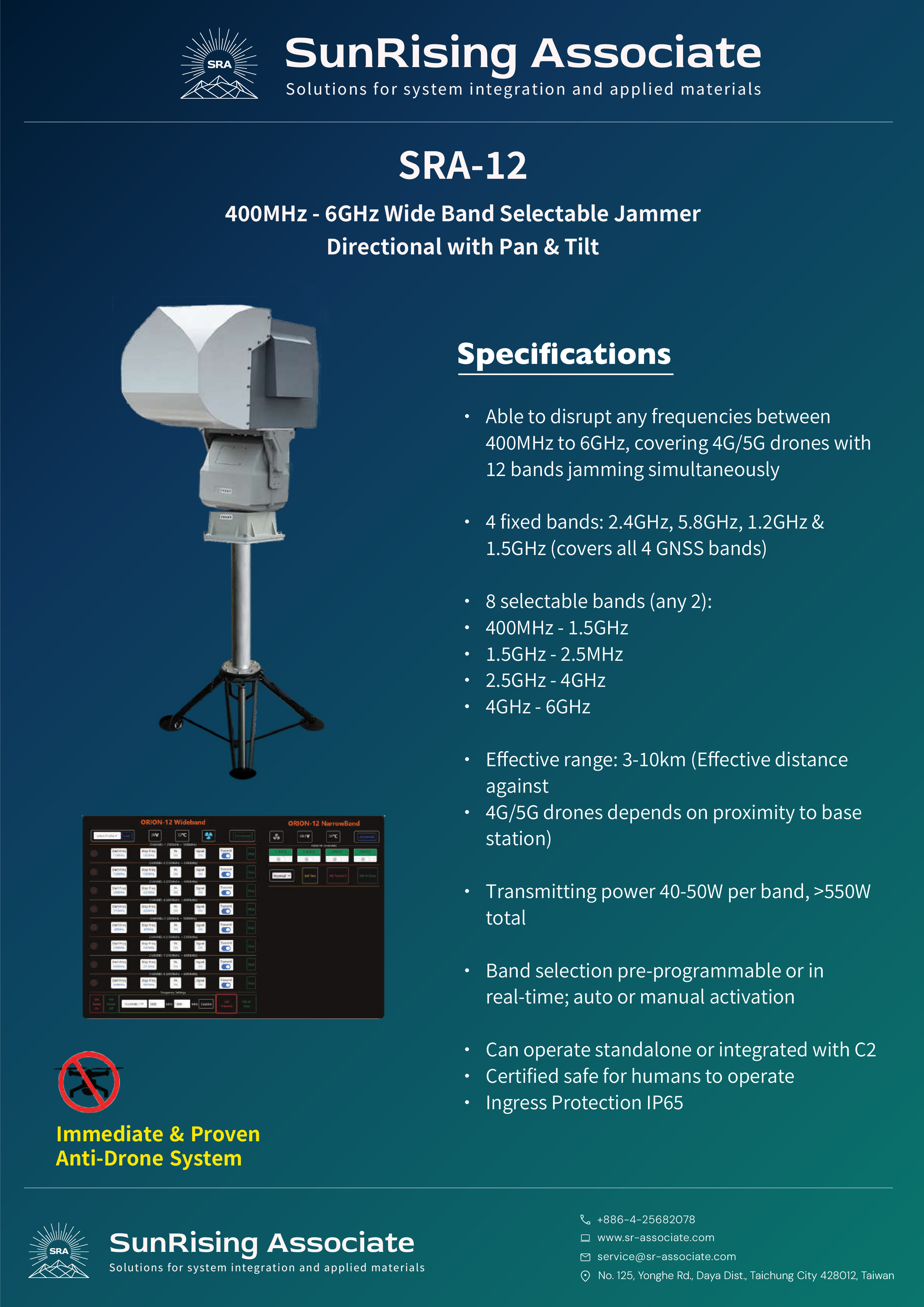
Jamming Range 400 MHz – 6 GHz, disrupting any frequency in range including 4G/5G drones — 12 bands simultaneously Fixed Bands (4) 2.4 GHz, 5.8 GHz, 1.2 GHz, 1.5 GHz (covers all 4 GNSS bands) Selectable Bands (8) Any 2 from: 400 MHz–1.5 GHz · 1.5 GHz–2.5 GHz · 2.5 GHz–4 GHz · 4 GHz–6 GHz Effective Range 3–10 km (effective distance against 4G/5G drones depends on proximity to base station) Transmitting Power 40–50 W per band · >550 W total Activation Band selection pre-programmable or real-time; auto or manual activation Deployment Standalone or integrated with C2 Safety Certified safe for humans to operate Protection IP65 ingress protection
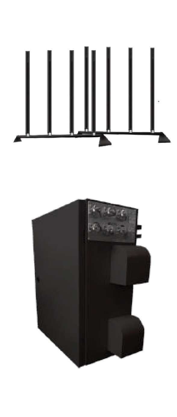
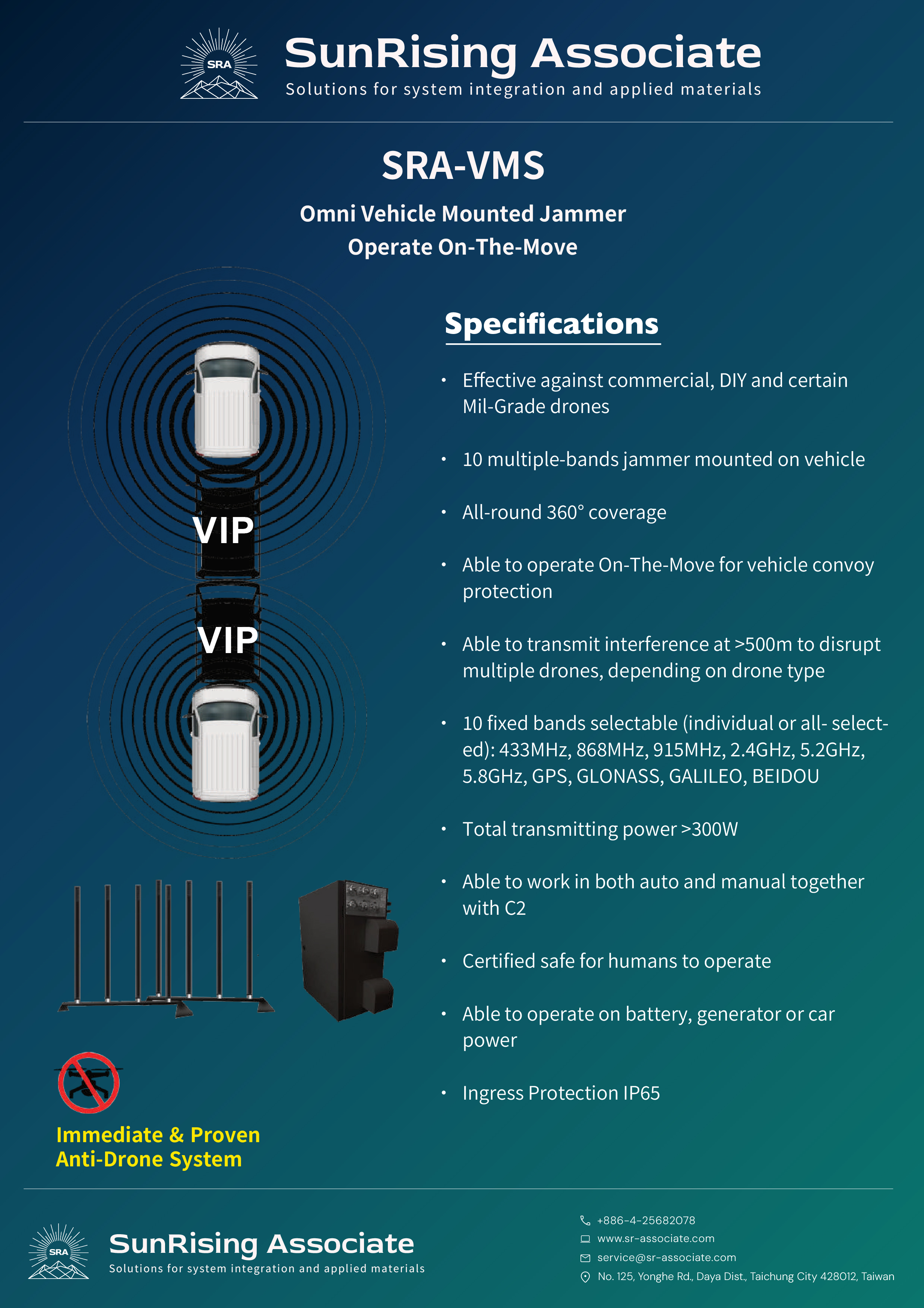
Targets Commercial, DIY & certain Mil-Grade drones Coverage All-round 360°; 10 bands mounted on vehicle On-The-Move Operable while moving — designed for vehicle convoy protection Effective Range >500 m interference against multiple simultaneous drones, depending on drone type Fixed Bands (10) 433 MHz, 868 MHz, 915 MHz, 2.4 GHz, 5.2 GHz, 5.8 GHz, GPS, GLONASS, GALILEO, BEIDOU — selectable individually or all at once Transmitting Power >300 W total Activation Auto and manual modes; works together with C2 Power Source Battery, generator, or car power Safety Certified safe for humans to operate Protection IP65 ingress protection
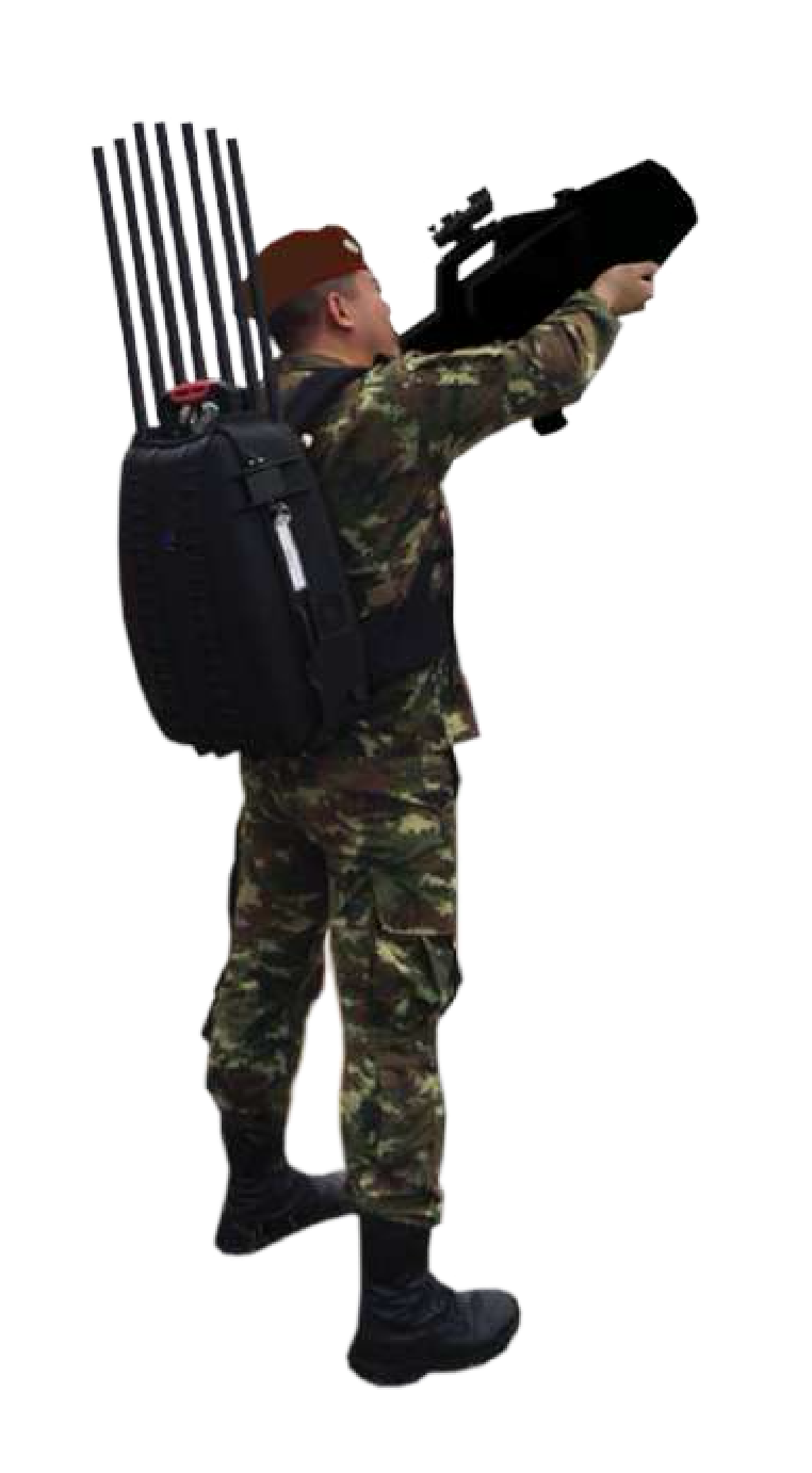
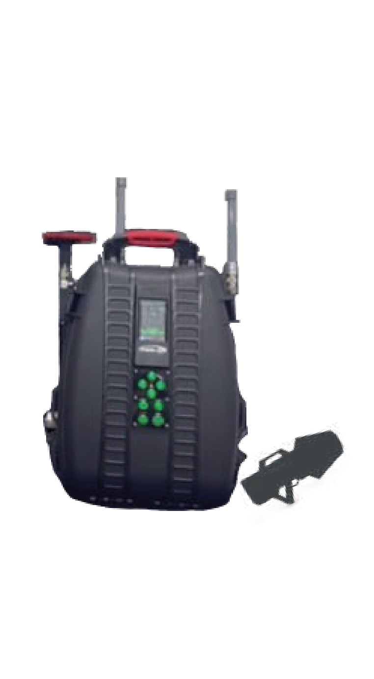
Targets Effective against commercial, DIY & certain Mil-Grade drones Bands 10 bands covering 6 RF bands & 4 GNSS systems — individual or all-bands selectable Effective Range Directional: 2–3 km · Omnidirectional: >500 m Coverage 360° coverage against multiple drones / swarm attack Battery 1.5 h; extendable using AC power Weight <17 kg (Manpack) · <4 kg (Gun) Safety RADHAZ certified; omnidirectional mode controllable via software Protection IP65 ingress protection Applications Close protection for VVIPs · Special security teams / Private security agencies · Force protection
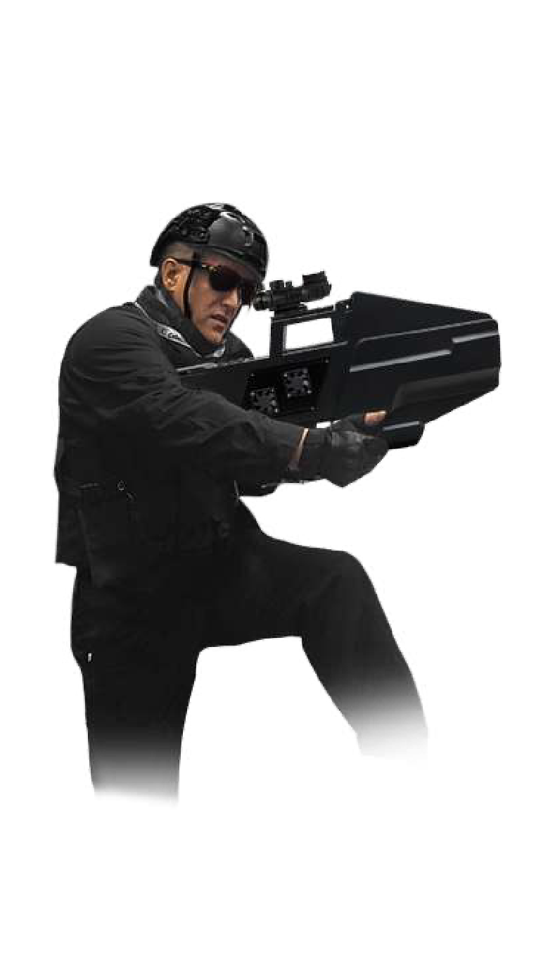
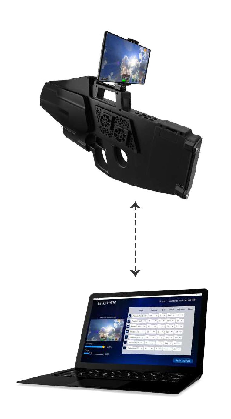
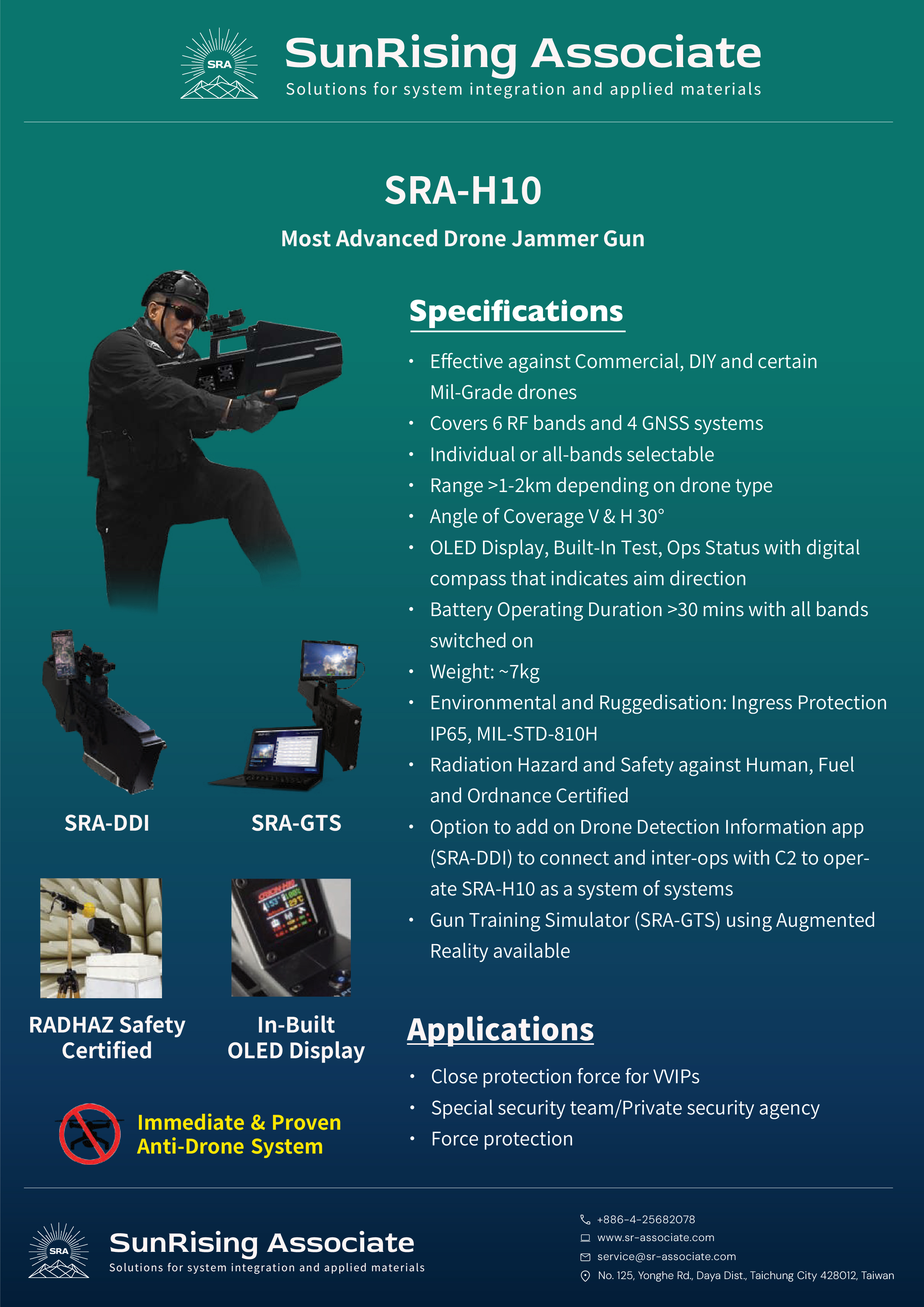
Targets Effective against commercial, DIY & certain Mil-Grade drones Bands 6 RF bands & 4 GNSS systems — individual or all-bands selectable Range >1–2 km depending on drone type Angle of Coverage Vertical & Horizontal 30° Display OLED display with built-in test, ops status & digital compass indicating aim direction Battery >30 mins with all bands switched on Weight ~7 kg Ruggedness IP65 ingress protection · MIL-STD-810H Safety Radiation hazard certified safe against humans, fuel & ordnance Add-ons Optional SRA-DDI drone detection app for C2 integration; Gun Training Simulator (SRA-GTS) via Augmented Reality available Applications Close protection for VVIPs · Special security teams / Private security agencies · Force protection
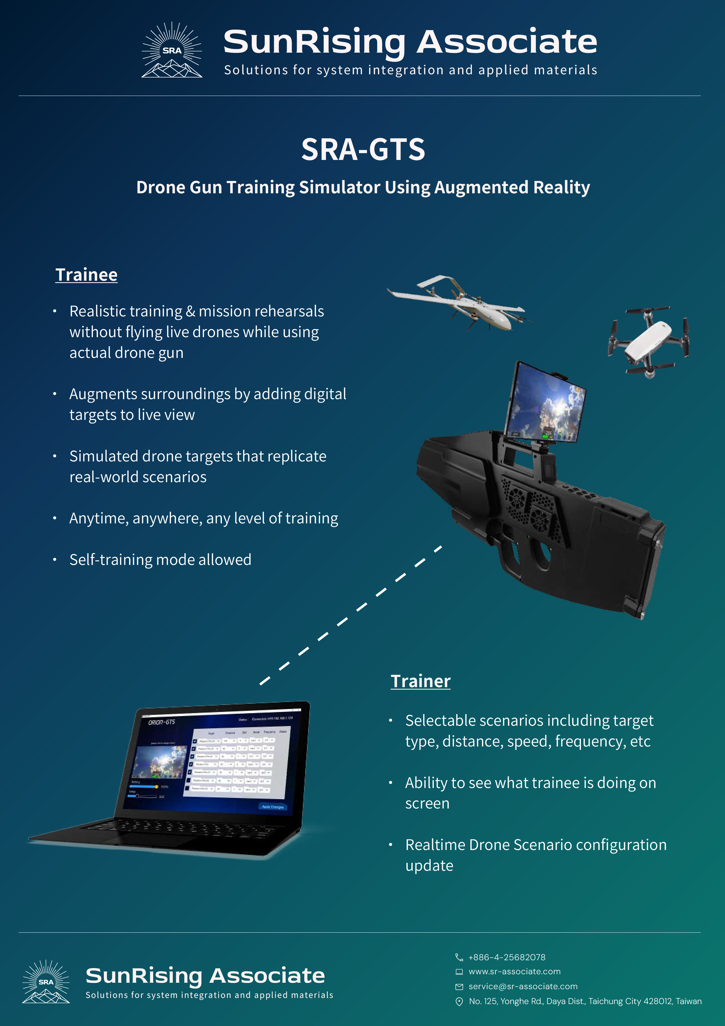
Training Realistic training & mission rehearsals without flying live drones while using actual drone gun AR View Augments surroundings by adding digital targets to live view Simulation Simulated drone targets that replicate real-world scenarios Accessibility Anytime, anywhere, any level of training Self-Training Self-training mode allowed Scenarios Selectable scenarios including target type, distance, speed, frequency, etc. Supervision Ability to see what trainee is doing on screen Configuration Realtime Drone Scenario configuration update
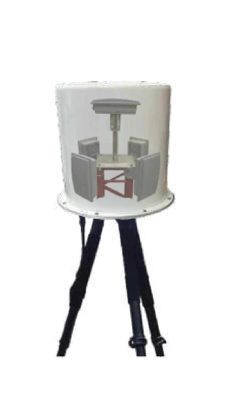
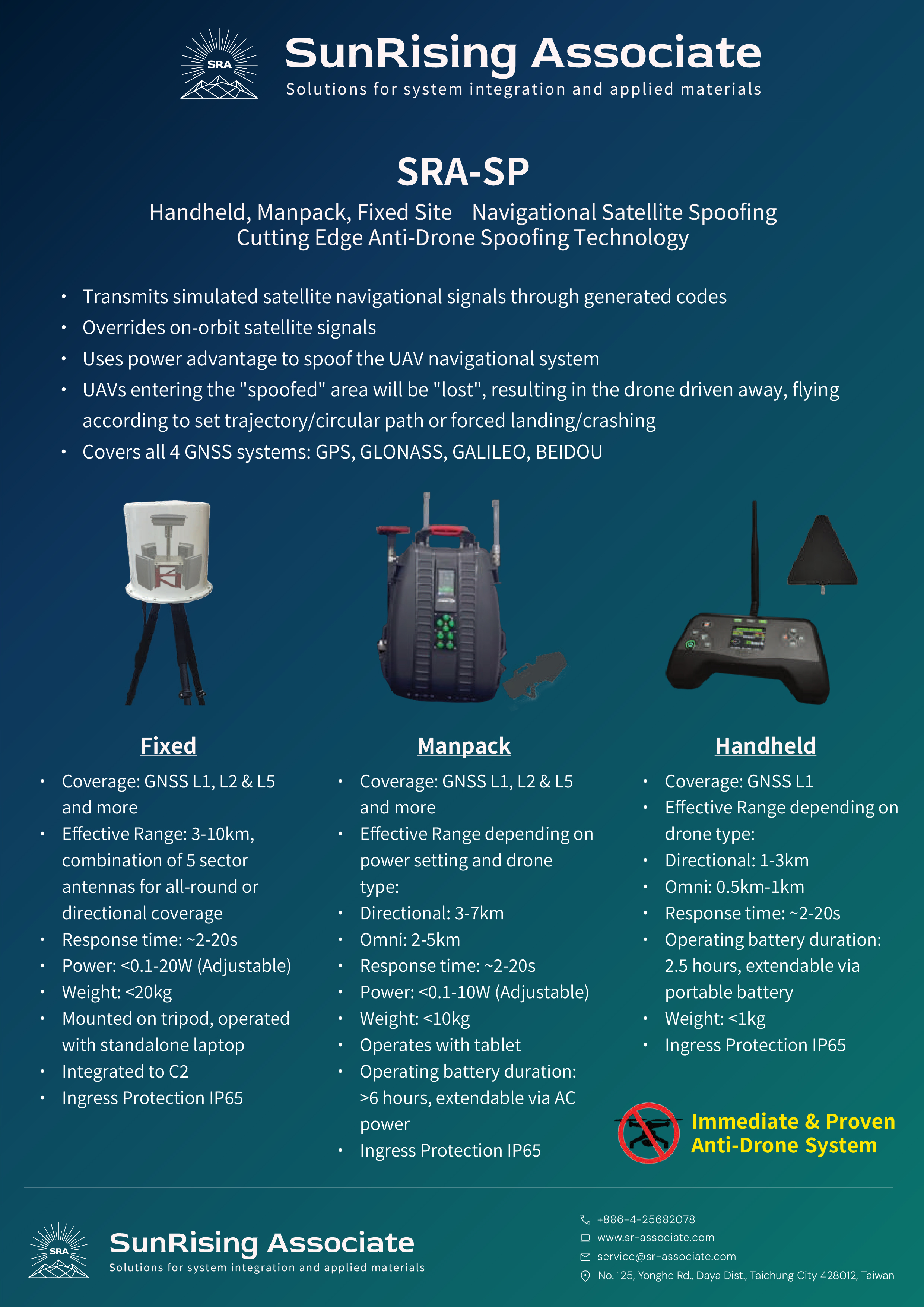
Coverage GNSS L1, L2 & L5 and more Effective Range 3–10 km; combination of 5 sector antennas for all-round or directional coverage Response Time ~2–20 s Power <0.1–20 W (adjustable) Weight <20 kg Deployment Mounted on tripod; operated with standalone laptop Integration Integrated to C2 Protection IP65 ingress protection
Coverage GNSS L1, L2 & L5 and more Effective Range Directional: 3–7 km · Omni: 2–5 km (depending on power setting and drone type) Response Time ~2–20 s Power <0.1–10 W (adjustable) Weight <10 kg Operation Operates with tablet Battery >6 hours; extendable via AC power Protection IP65 ingress protection
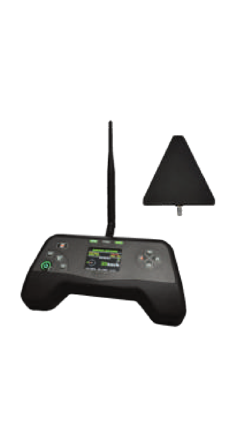
Coverage GNSS L1 Effective Range Directional: 1–3 km · Omni: 0.5–1 km (depending on drone type) Response Time ~2–20 s Battery 2.5 hours; extendable via portable battery Weight <1 kg Protection IP65 ingress protection
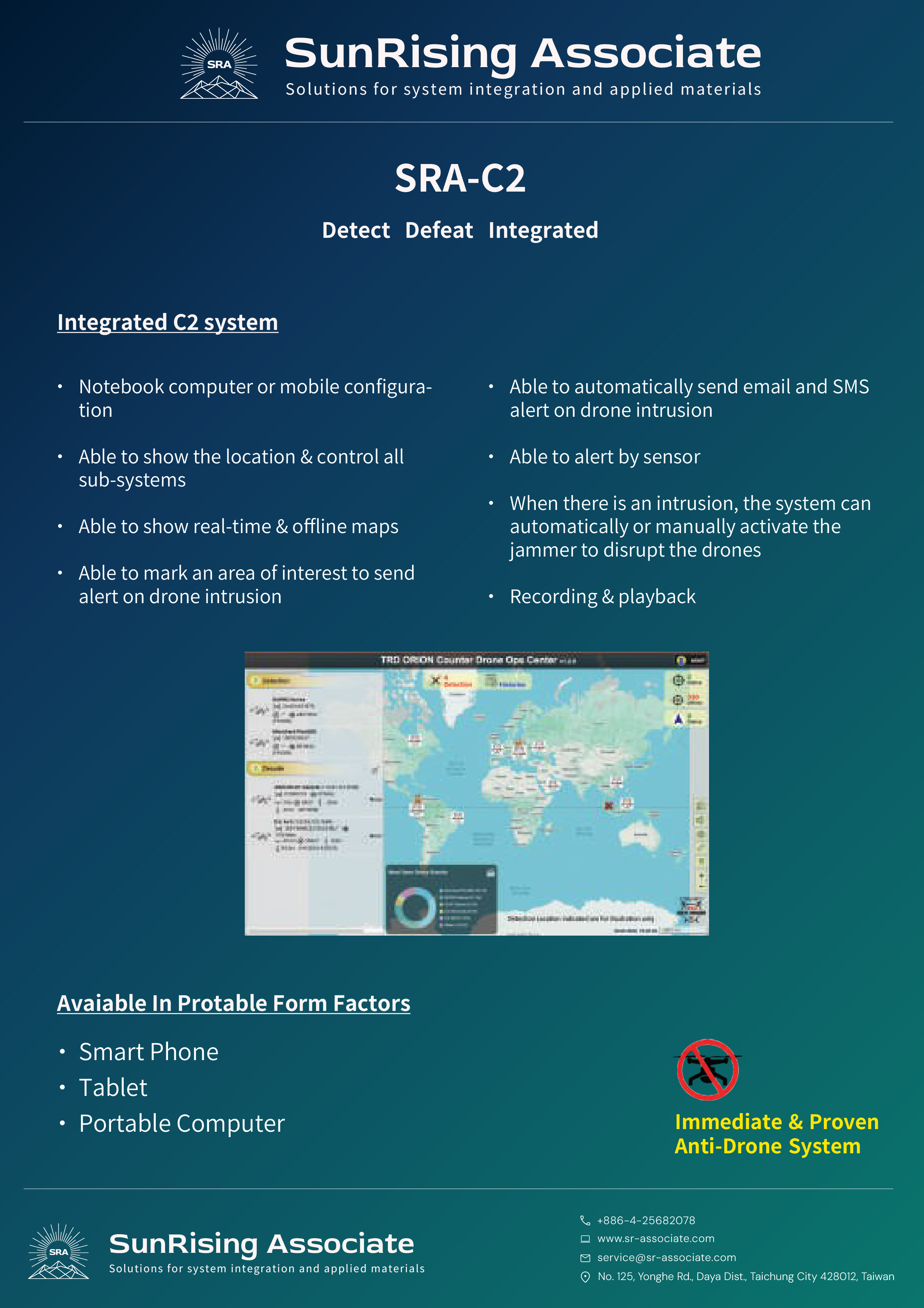
Configuration Notebook computer or mobile configuration Sub-Systems Able to show the location & control all sub-systems Maps Able to show real-time & offline maps Geofencing Able to mark an area of interest to send alert on drone intrusion Alerts Able to automatically send email and SMS alert on drone intrusion; able to alert by sensor Countermeasure When there is an intrusion, the system can automatically or manually activate the jammer to disrupt the drones Recording Recording & playback
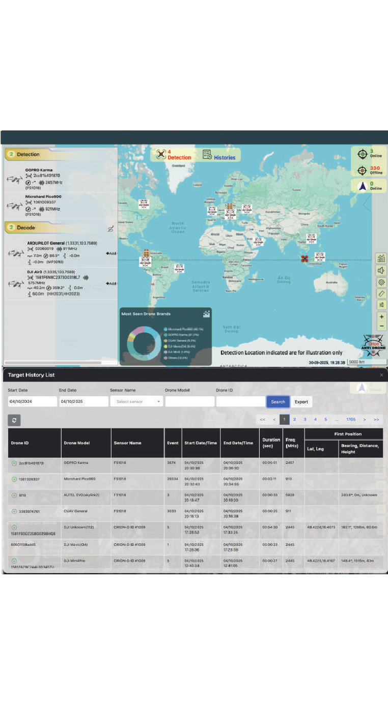
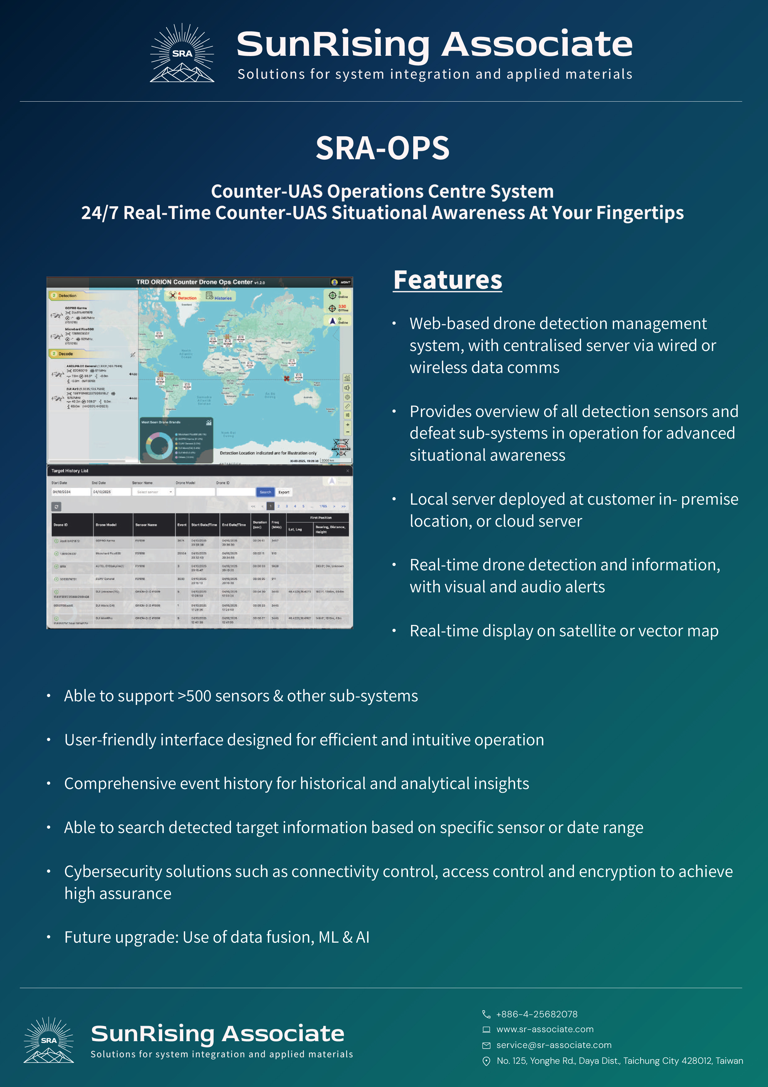
Platform Web-based drone detection management system; centralised server via wired or wireless data comms Overview Provides overview of all detection sensors and defeat sub-systems in operation for advanced situational awareness Deployment Local server deployed at customer in-premise location, or cloud server Detection Real-time drone detection and information, with visual and audio alerts Map Display Real-time display on satellite or vector map Scalability Able to support >500 sensors & other sub-systems Interface User-friendly interface designed for efficient and intuitive operation History Comprehensive event history for historical and analytical insights; able to search detected target information based on specific sensor or date range Cybersecurity Connectivity control, access control and encryption to achieve high assurance Future Upgrade Use of data fusion, ML & AI